
Hiking routes on Goeree-Overflakkee
On Goeree-Overflakkee, there is some beauty on the horizon for every hiker. Here, nature is still untouched and the views breathtaking.

With the walking route network, you can easily map out your own walking route via all kinds of walking junctions on the island. But there are also themed walking routes and there is even a podwalk about the flood disaster in Oude-Tonge. Of course, you can also go to the woods or get a breath of fresh air on the beach. At the VVV Inspiration Point in Ouddorp, they always steer you in the right direction.
1 - 24 of 27 results
-
Walking route Havenkanaal Oude-Tonge
Walking route Havenkanaal Oude-Tonge
Walk along the harbour canal and harbour of Oude-Tonge.
(3.4 km) -
North-water disaster Oude-Tonge
North-water disaster Oude-Tonge
Route commemorating the 1953 North Sea floods.
(3.1 km) -
City walk Goedereede
City walk Goedereede
Take a short walk through the beautiful and historic town of Goedereede.
(1.8 km) -
Walk through nature reserve De Vliegers
Walk through nature reserve De Vliegers
Walk along flowery dykes and enjoy the typical Flakkees polder landscape.
(4 km) -
Walking route Harbour Canal Sommelsdijk-Middelharnis
Walking route Harbour Canal Sommelsdijk-Middelharnis
Walk along the harbour canal of Sommelsdijk and Middelharnis.
(8.3 km) -
Eyewitnesses to the flood disaster in Nieuwe-Tonge
Eyewitnesses to the flood disaster in Nieuwe-Tonge
Route commemorating the 1953 North Sea floods.
(5.5 km) -
Hiking route Van Pallandtpolder
Hiking route Van Pallandtpolder
Walk through an enduring nature reserve.
(6.3 km) -
Christoffel hiking trail
Christoffel hiking trail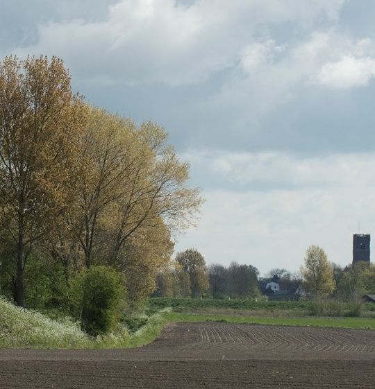
Walking route on the flower dykes of Goeree-Overflakkee .
(7.6 km) -
Fort Prince Frederik route
Fort Prince Frederik route
Walk to Fort Prins Frederik
(5.1 km) -
Walking route to bird observatory 'TIJ
Walking route to bird observatory 'TIJ
Walking route to bird observatory 'TIJ'.
(559 m) -
Waterworks walking route
Waterworks walking route
Walking route Waterworks.
(3.9 km) -
Art route Stellendam
Art route Stellendam
Art crumbs: the water levels of 1 February 1953.
(3.8 km) -
Walking route Bunkercomplex de Punt
Walking route Bunkercomplex de Punt
Explore this unique bunker complex in the dunes.
(2.7 km) -
Green walking route Scheelhoek and 't Kiekgat
Green walking route Scheelhoek and 't Kiekgat
Enjoy the abundance of birds on this forest walk (5 km).
(3.7 km) -
Bluebird walking trail
Bluebird walking trail
Walking route through the Groote Gat.
(3 km) -
Kwade Hoek walking tour
Kwade Hoek walking tour
In the Kwade Hoek Hoek, you will discover plenty of birds and some 300 species of plants, including orchids, along the unpaved footpaths and walkways.
45 minutes (4 km) -
Walking route Duinen van Goeree
Walking route Duinen van Goeree
Discover delta nature
(4.4 km) -
Duinen van Goeree route
Duinen van Goeree route
Discover Delta nature.
(17.9 km) -
Scheelhoek route
Scheelhoek route
For the true nature lover.
(12.1 km) -
Eyewitnesses to the Stellendam flood disaster
Eyewitnesses to the Stellendam flood disaster
Route commemorating the 1953 North Sea floods.
(3.1 km) -
Haringvliet path
Haringvliet path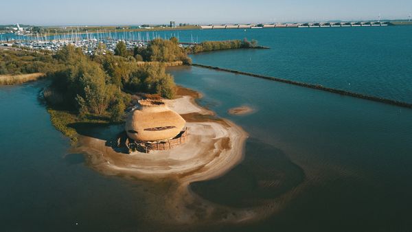
Where wind, water and stories shaped the landscape
(117.6 km) -
Goedereede route
Goedereede route
Discover the historic town of Goedereede.
(10 km) -
Art crumb trail Ooltgensplaat
Art crumb trail Ooltgensplaat
Art crumbs: the water levels of 1 February 1953.
(2.3 km) -
Hiking route Volgerland
Hiking route Volgerland
A 5 km walking route full of space and tranquillity.
(5 km)
Podwalk Oude-Tonge
Walk through a piece of Oude-Tonge's past, with the 'podwalk' about the 1953 flood disaster, made in response to NTR's four-part documentary series 'Het water komt'. A heavy storm combined with spring tides caused dykes to break in Zeeland, West Brabant, South Holland and on Texel. Houses washed away, people and animals drowned. The GPS-guided audio tour brings history to life on a 4.3-kilometre walk. Look at the area through the eyes of witnesses. How could the disaster happen and what did we learn from it?

